
When you need it most
Supporting agriculture, construction and
first-responders with actionable aerial data.
Agriculture
Monitor crops with detailed aerial views.
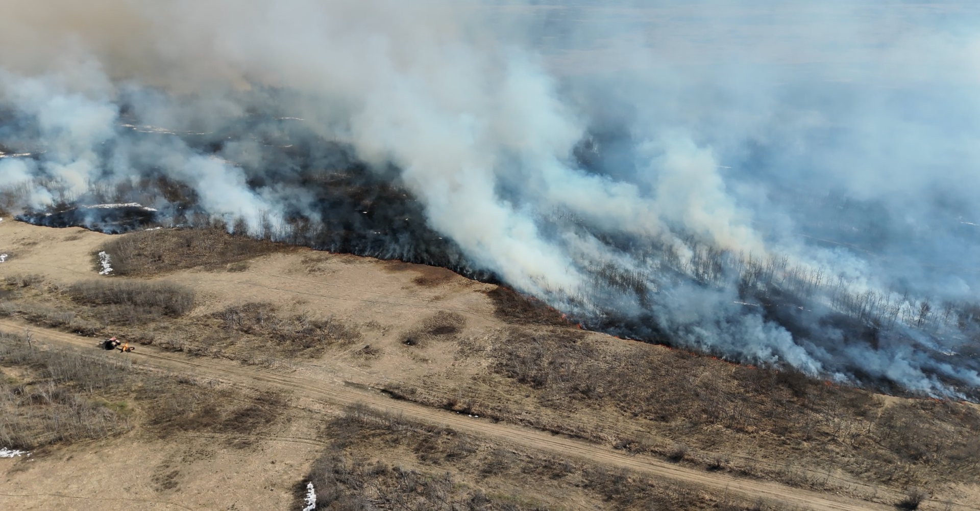
Real time information when
people and property are on the line.
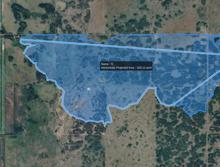
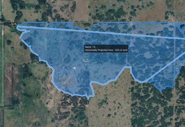
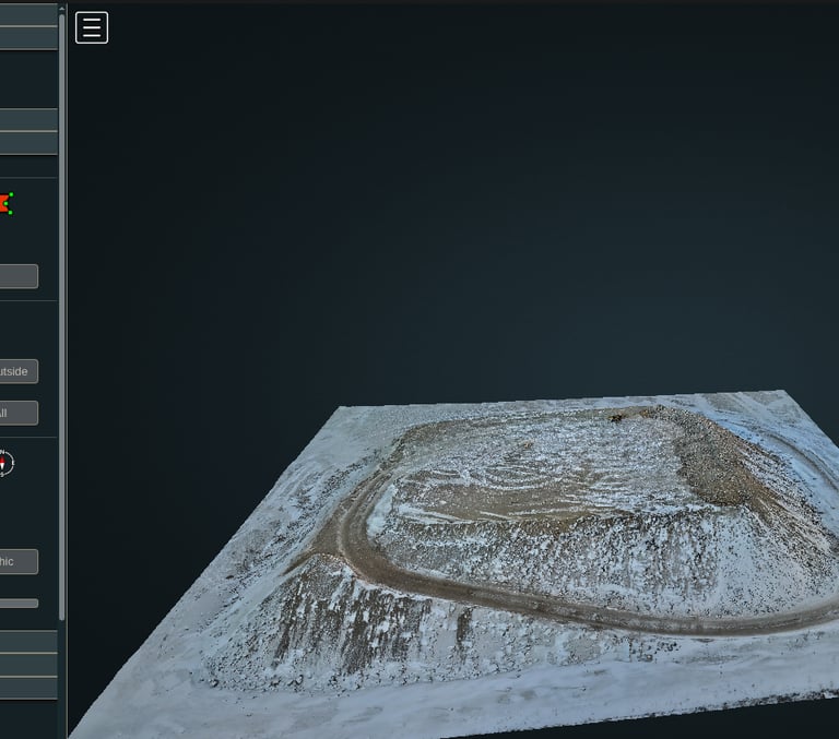
Monitor projects, measure land and volumes. Acreage, gravel-piles, grain-bags.
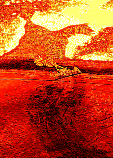
Fire Response
Construction & Volumetrics

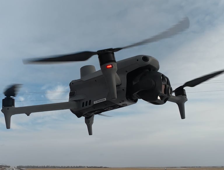
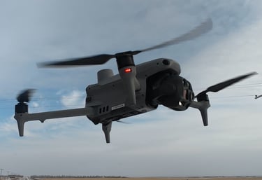
Enterprise precision
Our fleet includes enterprise-level drone and surveying hardware for <1 cm level accuracy.
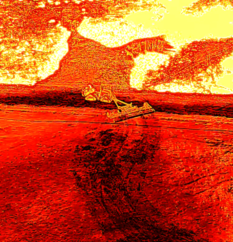
Thermal & Infrared
Cut through the smoke for vital response information and documentation.
Measurement
Precise land measurement
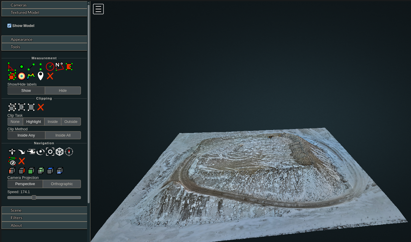
Volumetrics
Accurate volume measurements for your stockpiles. Grain, aggregates and more.
Stay Updated
Get alerts on new aerial imaging solutions
Contact
Reach out for aerial imaging solutions.
info@flightfx.ca
© 2025. All rights reserved.